Items
Search full-text
William M. McCarthy Photograph Collection
-
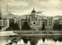 McCarthy Album 03, Photograph 067 Caption: " Parliament Building Victoria B.C." c. 1909. Constructed in the Neo-baroque, Renaissance Revival and Romanesque Revival architectural style (Francis Rattenbury, architect), the British Columbia Parliament Buildings were completed in 1897, and are home to the Legislative Assembly of British Columbia.
 -
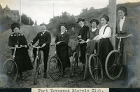 McCarthy Album 08, Photograph 070 Caption: "Port Townsend Bicycle Club.," c. 1910. Seven unidentified men and women posing with bicycles. The bicycle made its first appearance in the Puget Sound area in the late 1870s. Within twenty years, thousands of enthusiasts had adapted the new mode of transportation. Such enthusiasts often formed clubs, such as the Queen City Good Roads Club, based in Seattle (south of Port Townsend). These clubs advocated, constructed, and helped to maintain pathways dedicated specifically to bicycle traffic. Ironically, the efforts made by the bicyclists to generally improve roadways contributed to the rise of another new mode of transportation -- the automobile.
 -
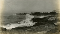 McCarthy Album 08, Photograph 193 No Caption: c. 1910. Ocean shore scene with waves and high spray, with a promontory in the distance featuring several buildings. The Vue de L'eau (View of the Water) was a station on the Santa Cruz, Garfield Park and Capitola Electric Railway electric streetcar line. Built in 1891, the station was located at the very end of the line, on a promontory overlooking the Pacific Ocean. It featured an observatory on the top story. The same company also built a casino, ballroom, and restaurant nearby. The station burned down in 1925. See also 96-07-08-alb05-159.
 -
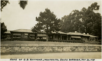 McCarthy Album 10, Photograph 007 Caption: "Home of C.B. Raymond, Montecito, Santa Barbara, May 23, 1935."
 -
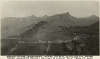 McCarthy Album 10, Photograph 384 Caption: "Highway leaving Tamazunchale where the real climb into the Sierra Madre mountains begins - 170 miles to highest point - 8200 ft. elevation."
 -
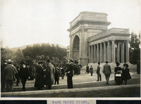 McCarthy Album 06, Photograph 051 Caption: "Park Music Stand, "c. 1908. A view of the bandstand at Golden Gate Park in San Francisco.
 -
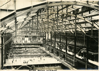 McCarthy Album 06, Photograph 175 Caption: "Sutro Baths Interior," c. 1910. Interior shot of the Sutro Baths, north of the Cliff House. Designed by Adolph Sutro in 1894, the bathhouses at one time covered three oceanfront acres just north of Ocean Beach and the Cliff House. Eventually the Sutro Baths fell into disrepair and what was left of them burned down in 1966. Since 1973, the concrete ruins have been part of the Golden Gate National Recreation Area. See also 96-07-08-alb02-023, and 96-07-08-alb03-117.
 -
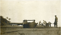 McCarthy Album 06, Photograph 301 No caption. Several unidentified men and a piece of heavy artillery at an unidentified location.
 -
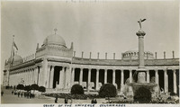 McCarthy Album 07, Photograph 055 Caption: "Court of the Universe Colonnades," at the Panama-Pacific International Exposition. See also 96-07-08-alb01-043.
 -
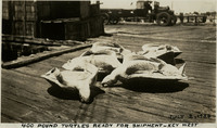 McCarthy Album 11, Photograph 114 Caption: "400 Pound Turtles Ready for Shipment -- Key West July 2, 1934." Several slaughtered sea turtles on a wharf in Key West. Turtle meat and eggs were popular food items in the early-to-mid twentieth century; turtle fat was especially prized for making turtle soup. Turtle kraals (corrals) and a cannery were built as the Key West area began to develop. However, the turtle population plummeted in the Florida Keys and surrounding areas as the twentieth century progressed and demand for turtle meat, eggs, and fat increased. The Key West turtle fishing industry halted after the Endangered Species Act was passed in 1971. Turtle populations have since started to recover. The cannery now serves as the Key West Turtle Museum.
 -
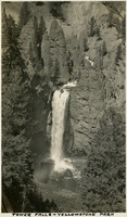 McCarthy Album 10, Photograph 135 Caption: "Tower Falls - Yellowstone Park, " c. 1935.
 -
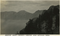 McCarthy Album 10, Photograph 261 Caption: "Crater Lake, Oregon - Crater Lake National Park," c. 1935. Located in the Crater Lake National Park, Crater Lake is a caldera lake formed about 7,700 years ago by the collapse of the volcano, Mount Mazama. Its 1,949 foot depth makes it the deepest lake in the United States.
 -
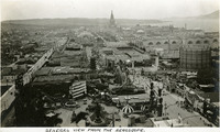 McCarthy Album 01, Photograph 018 Caption: "General View from the Aeroscope," at the Panama-Pacific International Exposition.
 -
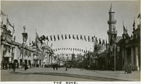 McCarthy Album 01, Photograph 146 Caption: "The Zone" was an area of popular amusements and concession stands at the Panama-Pacific International Exposition.
 -
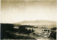 McCarthy Album 02, Photograph 024 No Caption: A bird's eye view of the Presidio at San Francisco, California, c. 1906. See also 96-07-08-alb08-178.
 -
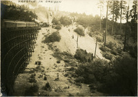 McCarthy Album 03, Photograph 068 Caption: "Trestle in Oregon." c. 1905
 -
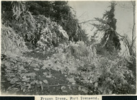 McCarthy Album 08, Photograph 071 Caption: "Frozen Trees, Port Townsend," c. 1908-1912. View of icicles and ice shards weighing down tree branches and other vegetation along a path.
 -
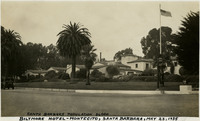 McCarthy Album 10, Photograph 008 Caption: "Biltmore Hotel-Montecito, Santa Barbara, May 23, 1935, Santa Barbara Population 36,000."
 -
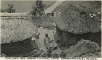 McCarthy Album 10, Photograph 385 Caption: "Thatched hut Indian village, near Tamazunchale, Mexico."
 -
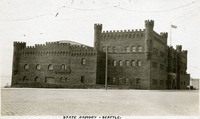 McCarthy Album 05, Photograph 237 Caption: "State Armory -- Seattle.," c. 1910. View of castle-like armory building for the Washington National Guard, built in 1909 near Seattle's Pike Place Market. It was demolished in 1968.
 -
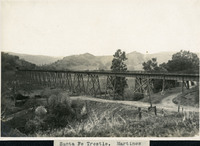 McCarthy Album 06, Photograph 176 Caption: "Santa Fe Trestle. Martinez, "c. 1906.
 -
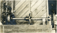 McCarthy Album 06, Photograph 302 No caption. An unidentified piece of machinery at unidentified location.
 -
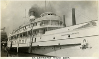 McCarthy Album 09, Photograph 125 Caption: "St. Lawrence River Boat," c. 1925. A single stack steamship of the Canada Steamship Lines Limited on the St. Lawrence River.
 -
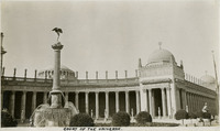 McCarthy Album 07, Photograph 056 Caption: "Court of the Universe," at the Panama-Pacific International Exposition. See also 96-07-08-alb01-044.
 -
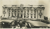 McCarthy Album 07, Photograph 184 Caption: "Fairfield Courthouse," c. 1918, shows the Solano County Courthouse in Fairfield, built in 1911 and festooned with United States flags, possibly for an event to welcome home WWI troops from overseas.
 -
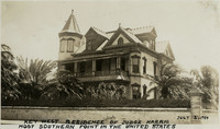 McCarthy Album 11, Photograph 115 Caption: "Key West Residence of Judge Harris, Most Southern Point in the United States July 2, 1934." View of the Queen Anne-style Victorian mansion constructed in Key West by Judge Vinning Harris in 1897. The home was originally touted as occupying the southernmost point in the U.S., resulting in the colloquial name "Southernmost House." During the Prohibition years (1920-1933) the house operated as a speakeasy, with a restaurant and casino. In 1939, it was converted to use as a nightclub. Today, it has been renovated for use as a bed-and-breakfast.
 -
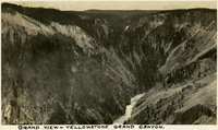 McCarthy Album 10, Photograph 136 Caption: "Grand View - Yellowstone Grand Canyon," c. 1935.
 -
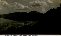 McCarthy Album 10, Photograph 262 Caption: "Crater Lake - View from the Lodge," c. 1935, shows clouds and sky reflected in the lake. Located in the Crater Lake National Park, Crater Lake is a caldera lake formed about 7,700 years ago by the collapse of the volcano, Mount Mazama. Its 1,949 foot depth makes it the deepest lake in the United States.
 -
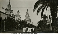 McCarthy Album 01, Photograph 019 Caption: "Avenue of the Palms-Looking East," at the Panama-Pacific International Exposition.
 -
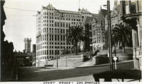 McCarthy Album 01, Photograph 147 Caption: "Court House - Los Angeles." c. 1915-1920. The Los Angeles County Courthouse, also known as the Red Sandstone Courthouse, was completed in 1891. Located at the southeast corner of Temple and Broadway, the courthouse was damaged beyond repair by the 1933 Long Beach earthquake and demolished in 1936. To the left of the courthouse stands the Hall of Records, built in 1911 and used, along with other buildings, as the county courthouse from 1934 until 1959, when the current courthouse was occupied. The Hall of Records was demolished in 1973.
 -
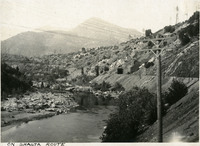 McCarthy Album 03, Photograph 069 Caption: "On Shasta Route," Siskiyou County, California, c. 1905
 -
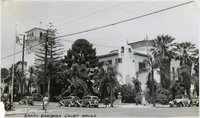 McCarthy Album 10, Photograph 009 Caption: "Santa Barbara Court House," c. 1935, was built in the Spanish-Colonial Revival style (Charles Willard Moore, architect) and completed in 1929.
 -
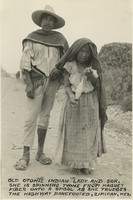 McCarthy Album 10, Photograph 386 Caption: "Old Otomie [sic]Indian lady and her son. She is spinning twine from Maguey fiber onto a spool as she trudges the highway barefooted, Zimipan, Mexico."
 -
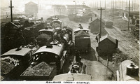 McCarthy Album 05, Photograph 238 Caption: "Railroad Yards -- Seattle.," c. 1905-1909. View of busy rail yard in Seattle, with a series of trains loaded with what appears to be gravel or rubble, as well as sheds, a water tower, and several other outbuildings.
 -
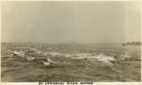 McCarthy Album 09, Photograph 126 Caption: "St. Lawrence River Rapids," c. 1925. View of white caps on the Saint Lawrence River. This river is part of the international boundary between Ontario, Canada, and New York, U.S.A.
 -
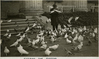 McCarthy Album 07, Photograph 057 Caption: "Feeding the Pigeons," shows a man in a hat and overcoat feeding pigeons near what appears to be the columns of the Palace of Fine Arts at the Panama-Pacific International Exposition.
 -
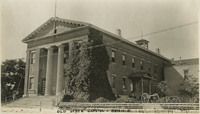 McCarthy Album 07, Photograph 185 Caption: "Old State Capitol-Benicia," c. 1918, shows the Benicia State Capitol building, built in 1852, the third location of the state capital from February 1853 to February 1854, before it was moved permanently to Sacramento. The historic building was listed as a California State Historic Landmark in 1935, and added to the National Register of Historic Places in 1971. Today the site is known as the Benicia Capitol State Historic Park.
 -
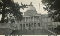 McCarthy Album 11, Photograph 239 Caption: "Boston State House. Sept. 5, 1934." The Massachusetts State House has been the seat of government for the Commonwealth of Massachusetts since its completion in 1798. Designed by Charles Bullfinch, its prominent feature is its gold-leafed dome. The building, a significant example of Federal architecture in a civic structure, has been declared a National Historic Landmark.
 -
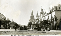 McCarthy Album 01, Photograph 020 Caption: "Avenue of the Palms-Looking West," at the Panama-Pacific International Exposition.
 -
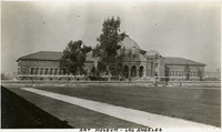 McCarthy Album 01, Photograph 148 Caption: "Art Museum - Los Angeles," c. 1915. Located in Exposition Park, the Beaux Arts building, opened in 1913, was originally known as the Los Angeles Museum of History, Science, and Art. In 1963, the Los Angeles County Museum of Art moved to its current location on Wilshire Blvd. The Exposition Park facility became the Natural History Museum of Los Angeles County. After two years of renovation and restoration, it was reopened in 2009.
 -
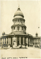 McCarthy Album 03, Photograph 070 Caption: "Old City Hall Tower," San Francisco, c. 1905. A view of the San Francisco City Hall, built in 1870, before it was damaged beyond repair by the 1906 earthquake and fires. A new city hall, near the site of the original, was completed in 1916.
 -
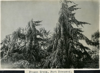 McCarthy Album 08, Photograph 073 Caption: "Frozen Trees, Port Townsend," c. 1908-1912. View of icicles weighing down tree branches.
 -
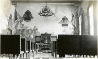 McCarthy Album 10, Photograph 010 Caption: "Santa Barbara Court House - Interior," c. 1935, shows a view of the murals painted on the interior walls of the courthouse.
 -
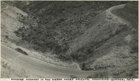 McCarthy Album 10, Photograph 387 Caption: "Winding highway in the Sierra Madre Oriental mountains - Zimipan, Mexico."
 -
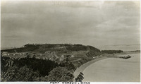 McCarthy Album 05, Photograph 239 Caption: "Fort Worden, Wash.," c. 1909. Panoramic view of Fort Worden in Port Townsend, Washington, on Admiralty Inlet of Puget Sound. Construction began on the fort in 1898. By 1902 it was serving as an active U.S. Army base. Fort Worden was part of the "triangle of fire," three coastal defense fortifications (Fort Casey, Fort Worden, and Fort Flagler) guarding the entrance to Puget Sound. The U.S. sold the property to the state of Washington in 1957. In 1973, the fort and surrounding area opened as Fort Worden State Park.
 -
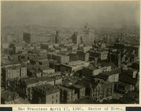 McCarthy Album 06, Photograph 178 Caption: "San Francisco April 17, 1906. Center of Town." A bird's eye view of the city the day before the earthquake and fires.
 -
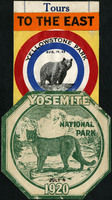 McCarthy Album 09, Photograph 000 Caption: "Tours to the East." Two National Park decals for Yellowstone Park (with handwritten date of Aug. 14, 23, featuring a bear) and Yosemite National Park in 1920 (with handwritten date of July 4, featuring a mountain lion).
 -
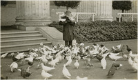 McCarthy Album 07, Photograph 058 No Caption: shows a man in a hat and overcoat feeding pigeons near what appears to be the columns of the Palace of Fine Arts at the Panama-Pacific International Exposition.
 -
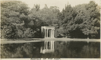 McCarthy Album 07, Photograph 186 Caption: "Portals of the Past," c. 1915, on the shore of Lake Lloyd in Golden Gate Park, was originally the entranceway to the Nob Hill mansion of railroad tycoon, A.N. Towne. The entranceway was the only part of the home that was not destroyed by the 1906 earthquake and was moved to Golden Gate Park in 1909 as a reminder of much that was lost. See also 96-07-08-alb05-065.
 -
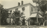 McCarthy Album 07, Photograph 314 Caption: "Commanding Officers Quarters - Benicia Arsenal," c. 1915.